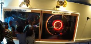
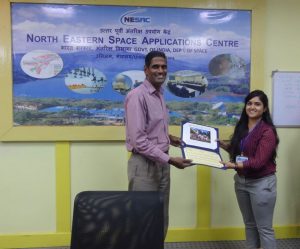
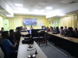
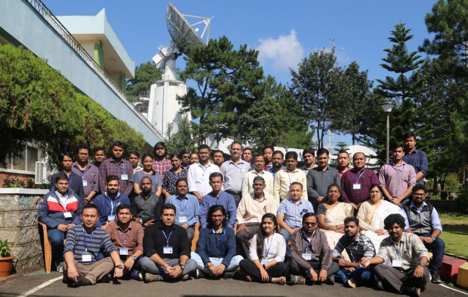
A short course on Drone Data Acquisition, Processing and Analysis Using Open Source Tools was successfully organized by NESAC during 4th – 8th November’ 2019. The course was focused on how available tools and libraries could be used for processing of Drone derived imagery and generate valuable high resolution data products such as Orthomosaics, Digital Surface/Terrain Models, 3D Textured Models etc which can then be used for various planning and R&D purposes. Further, advanced lectures on Computer Vision techniques for 3D scene reconstructions and use of ML/DL for UAV data analysis were also delivered during the course. Extensive Hands-On tutorials were prepared and used by the participants to equip themselves with the major tools and libraries for drone data processing. Each Hand-Out has clear defined learning goals to keep track of what they would be doing/learning during the practical sessions. Different UAV datasets were provided to the participants for use during the lab sessions. The weeklong course was attended by 32 participants coming from various government departments, institutes and public/private sectors. A short quiz was also taken to assess the understanding of their learnings during the course. Shri PS Singh (,Sci/Engr. ‘SE’), NESAC was the Course Coordinator and Shri Avinash Chouhan (Sci/Engr. ‘SD’) was the Course Officer for the 5-days training program.
Course on Drone Data Acquisition, Processing and Analysis Using Open Source Tools
Posted in Events
Previous Post
NESAC participation in State level “National Children Science Congress”, Assam
Next Post
National Symposium on Innovations in Geospatial Technology for Sustainable Development with special emphasis on NER during 20 – 22 November 2019

