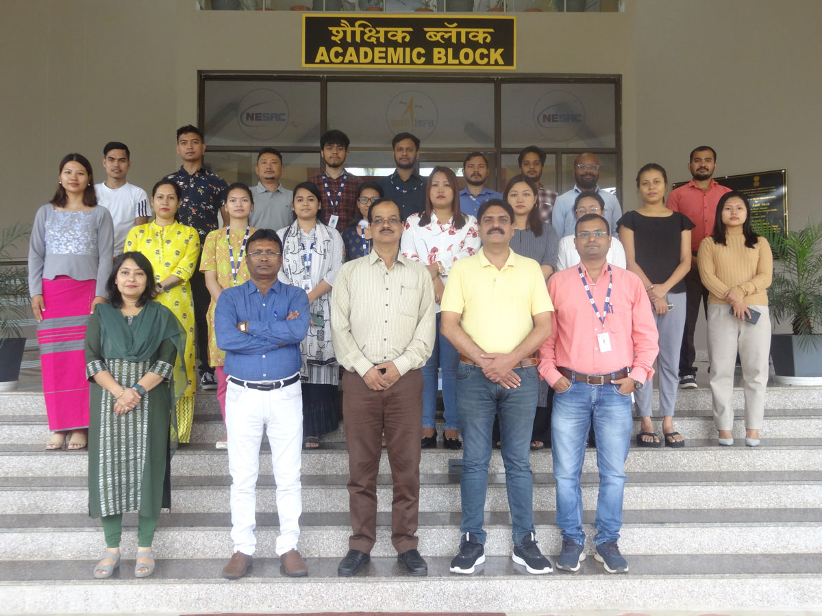
NESAC conducted five days training program on “Applications of Geographic Information System in Disaster Risk Mitigation” for officials nominated by various state disaster management departments and National Disaster Management Authority (NDMA) during 12-16 September 2022 at NESAC Outreach Facility. A total of 21 participants attended the training course. The training focused on use of Remote Sensing and GIS tools and techniques, in disaster management and monitoring. A field visit with demonstration of UAV, DGPS, GNSS, and DWR was conducted to provide knowledge about data sources and uses. The program was inaugurated by Dr S P Aggarwal, Director, NESAC. The course was designed to cover several domains of disasters such as forest fire, rainfall, flood, earthquake, landslide, industrial hazards, and crop damage etc..
The training also covered lightning, cyclone, and hazards risk venerability assessment followed by dashboard demonstration application in disaster management. A Valedictory session was arranged on 16th September, 2022. A good number of suggestions were shared by the participants during the valedictory session. Dr S P Aggarwal, Director NESAC congratulated all the participants on successful completion of the course and distributed the course certificate. He also lauded the efforts of Dr K.K. Sarma, the Course Director and Dr (Mrs) Kuntala Bhusan, Course officer for successful conduct of the course. The program ended with vote of thanks offered by by Dr Abhay Srivastava, Course Officer of the training.


