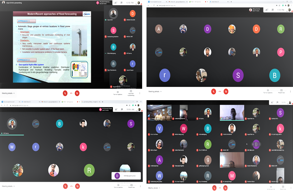
NESAC conducted a two days training program on “Applications of Geographic Information System in Disaster Risk Mitigation for officials working in the field of disaster Management during 25-26 February, 2021, sponsored by National Disaster Management Authority (NDMA)in an online mode through google meet platform.
The training course mainly focused on highlighting how Remote Sensing and GIS can effectively be used for proper management and monitoring of various disasters. The training course was conducted under the overall guidance of Shri PLN Raju, Director, NESAC. Dr. KK Sarma (Sci/Engr. ‘SG’) was identified as the Course Coordinator and Dr. Arjun BM (Sci/Engr. ‘SD’) and Dr. Gopal Sharma (Sci/Engr. ‘SD’) as Course Officers for conducting the training program. A total of 43 nominations were received from different State and Central government departments, out of which 35 nominations were accepted for the training course.
Director NESAC while addressing the participants informed about NESAC expertise and insisted the participants to apply the learnings from the training in their respective field of work. He also thanked NDMA for providing fund to conduct the training program. A good number of suggestions have been made by the participants which were noted by the Course Coordinator and Course Officers to incorporate in the future training programs.


